 vesseltracker.com
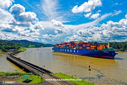
Vessel HYUNDAI MARS IMO: 9725122, MMSI: 232024773 Container Ship
UTC, 34.65935, 128.87494, course: 20, speed: 7.3
UTC, 34.84650, 128.85919, course: 7, speed: 7.8
2026-03-01 07:36:16 UTC, 35.07314, 128.78737, course: 322, speed: 1.6
Live AIS position:
UTC. Near BUSAN NEW PORT),
updated 2026-03-01 07:36:16 UTC.
Find the position of the vessel HYUNDAI MARS on the map. The latter are known coordinates and path.
marine traffic ship tracker show on live map
The current position of vessel HYUNDAI MARS is 35.07314 lat / 128.78737 lng. Updated: 2026-03-01 07:36:16 UTCCurrently sailing under the flag of United Kingdom
HYUNDAI MARS built in 2016 year
Deadweight:
124092 tDetails:
Last coordinates of the vessel:
UTC, 34.29739, 128.75597, course: 30, speed: 9.1UTC, 34.65935, 128.87494, course: 20, speed: 7.3
UTC, 34.84650, 128.85919, course: 7, speed: 7.8
2026-03-01 07:36:16 UTC, 35.07314, 128.78737, course: 322, speed: 1.6